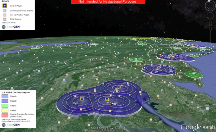
Starting January 1, 2020, you must be equipped with ADS-B Out to fly in most controlled airspace.
Download the Equip ADS-B Google Earth map to look at the location of ADS-B rule airspace at your home base and where you fly. Pan and zoom to different locations and turn on the various capabilities the map includes:
- 3-dimensional depictions of rule airspace, airports, and temporary flight restrictions in real time
- Overlays of ADS-B surveillance coverage — airspace where ATC can see aircraft transmitting ADS-B Out information at altitudes of 500′, 1,500′, 3,000′, 5,000′ and 10,000′ AGL
- Non-radar airspace where aircraft transmitting ADS-B can be seen by ATC